
The last step of every survey, handled properly.
You did the flying, the processing and the QA — then sent a link your client couldn't open, let alone understand.
Upload the files you already export. We turn them into a map and a 3D view automatically: no GIS software, no tiling, no web server. Your client gets a link with your name on it, the viewers and the downloads. Nothing to install, nothing to explain.
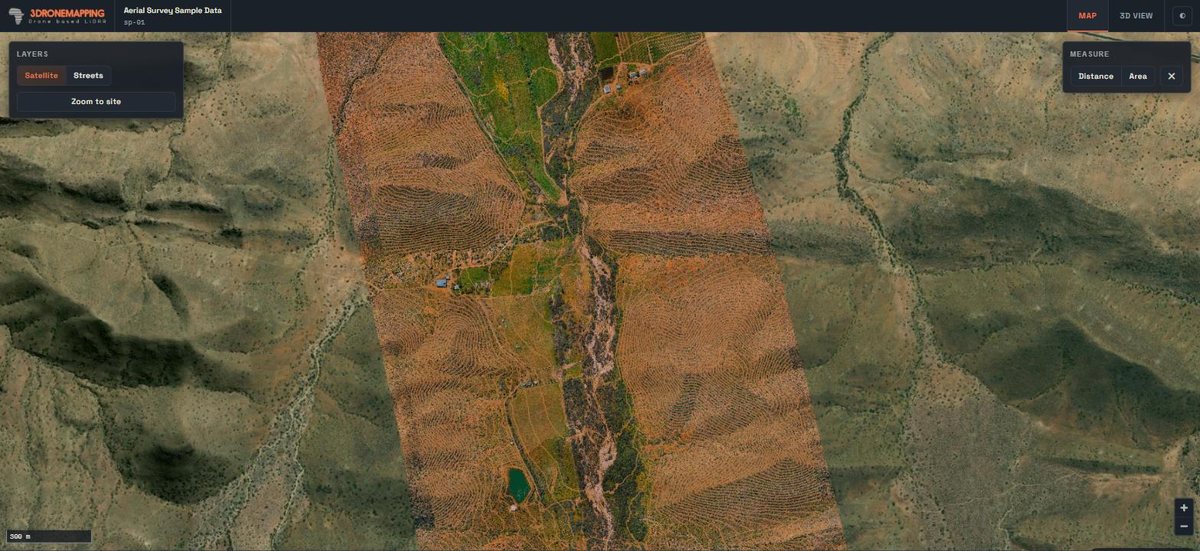
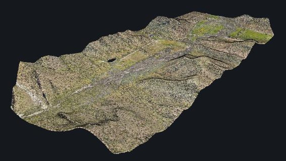
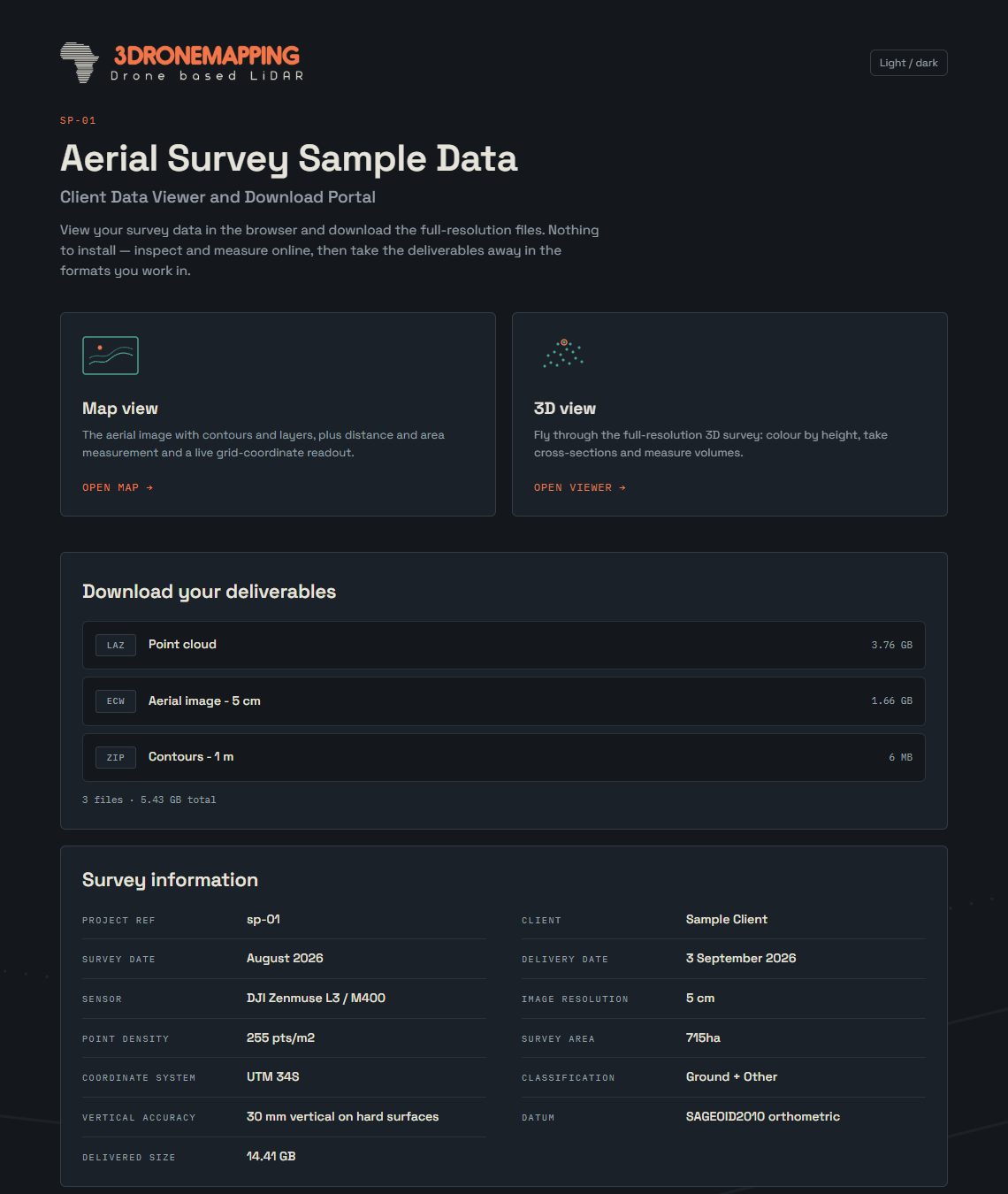
A real sample delivery. Open it yourself (opens in a new tab).
What your client gets
A map
The aerial image, contours, buildings, roads and more on one map they can zoom, measure on and switch layers.
A 3D view
The survey in 3D, right in the browser, with measuring and cross-sections.
The downloads
Every deliverable file in one place, with sizes and plain descriptions.
Your name on it
Your logo and colours on your own address, with a login per delivery and an expiry date you set.
Upload it. We convert it.
Works with the results from Pix4D, Agisoft Metashape, DJI Terra, WebODM and any software that exports standard formats: step-by-step guides.
Getting survey data onto the web usually means extra software and a lot of know-how: tiling the aerial image, converting the point cloud, reprojecting layers, hosting it all somewhere. SurveyDeliver does that part for you. Drop in your files and they come out ready to view, on the right spot on the map.
Aerial images and elevation
GeoTIFF, or a plain TIFF with its world file (.tfw). Big orthomosaics are fine.
Point clouds
LAS and LAZ, straight out of your processing software, ready to view in 3D.
Contours and line work
Shapefiles, DXF, GeoPackage, GeoJSON and KML, zipped or not.
Your coordinate system
Local grids such as South African Lo systems and UTM zones are read from your files and placed correctly. If something is missing, you are asked in plain words before you upload.
How it works
- Upload your finished deliverables: aerial images, elevation models, contours, vector layers and point clouds, in the formats you already export.
- Checked before they leave your computer. Coordinate system, zone, extent, a preview on a map, size and upload time: anything that will not show properly is flagged in plain words before the upload starts, not after. Then we convert them automatically.
- Send your client the link. They open it in any browser, on any device. Nothing to install.
Simple pricing
From $49 a month. Start with a 14-day trial, then pick the plan that fits. Very large jobs? Contact us for a separate quote.